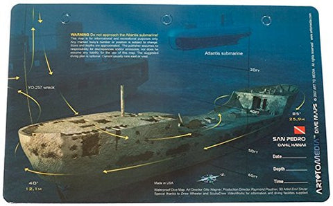
Features:
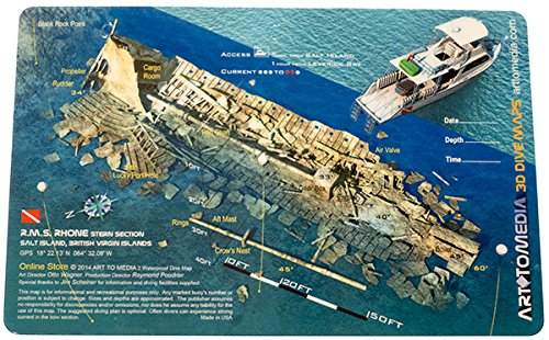
- ✔️ RMS Rhone Stern, Salt Island, British Virgin Islands
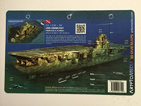
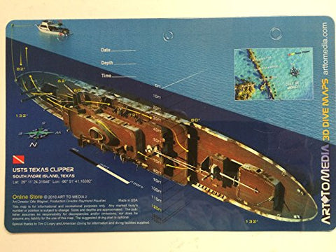
- ✔️ Reef Site Card Dive Map of this shipwreck is a waterproof thick plastic card 8 1/2 x 5 1/2 inches with high quality graphics printed on both sides.
- ✔️ Includes site details, depths, currents, GPS coordinates in DDMM.MMM format, distance from nearest port, and other pertinent information which varies by site.
- ✔️ Great planning tool for diving, snorkeling, spearfishing and fishing.
- ✔️ 3-Hole Punched for Log Book or Lanyard when Underwater
Details: ✔️ Reef Site Cards, also called 3D Dive Site Maps, are a handy tool for divers, snorkelers, anglers and boaters. ✔️ Anglers can see on these very detailed cards the reef site structure to learn the best way to fish a site. ✔️ Divers get important details to make the most of their bottom time. ✔️ Snorkelers can take the cards with them into the water and learn about what they are seeing from above.
Item Condition: New
